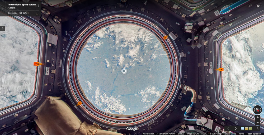
ISS on Google Maps
Published in Physics

This is the first time Street View imagery has been captured away from planet Earth, allowing users to take a virtual tour of the ISS using their own computer.
Moving through the ISS online, clickable descriptions of the surroundings pop up to help explain to the viewer what it is they are looking that – a first for Google Maps.
Street View images are normally taken by a vehicle with a camera rigged to the roof, but in space imagery cannot be captured in this way. Instead, DSLR cameras were used to collect images, which were then stitched together to create panoramic views of inside the ISS, using bungee cords criss-crossing the station to define the position of the camera.
The photographs for the ISS Street View were taken by Thomas Pesquet, a European Space Agency astronaut who spent 6 months in space earlier this year. When he returned to Earth, he wrote this blog post for Google about his experiences collecting Street View images in zero gravity.
Poster image by Google: Cupola Observation Module on the ISS in Street View
Explore the ISS in Google Street (Space) View yourself and watch a video explaining how the ISS was mapped for Google below.
https://www.google.com/streetview/#international-space-station/

Please sign in or register for FREE
If you are a registered user on Research Communities by Springer Nature, please sign in