Call for Papers: Urban Climate and Smart Cities: Geospatial Monitoring and Predictive Analytics for a Resilient Future in Discover Geoscience
Published in Earth & Environment, Sustainability, and Mathematics
📢 Call for Papers
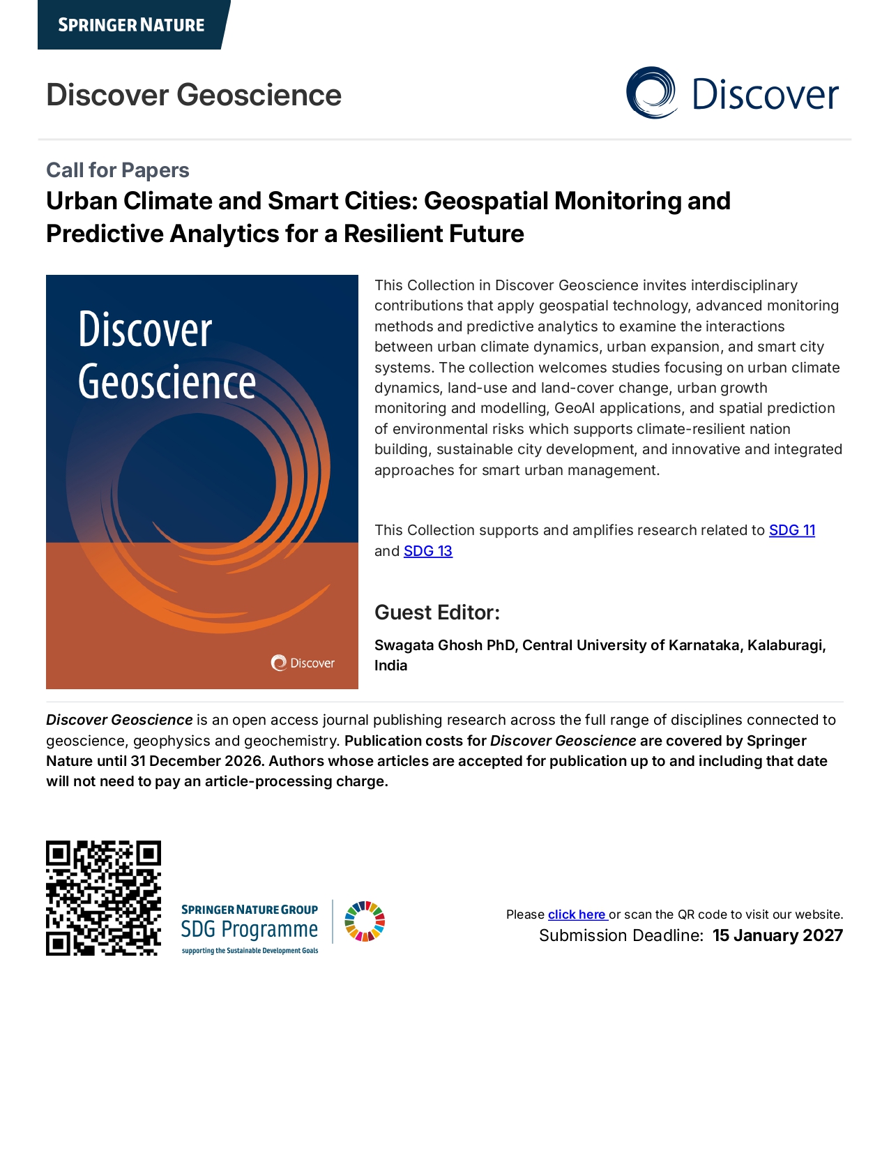
Urban Climate and Smart Cities: Geospatial Monitoring and Predictive Analytics for a Resilient Future.
I am happy to share that my Article Collection, “Urban Climate and Smart Cities: Geospatial Monitoring and Predictive Analytics for a Resilient Future,” has been officially accepted by Discover Geoscience, a Springer Nature journal.
This Collection in Discover Geoscience invites interdisciplinary contributions that apply geospatial technology, advanced monitoring methods and predictive analytics to examine the interactions between urban climate dynamics, urban expansion, and smart city systems. The collection welcomes studies focusing on urban climate dynamics, land-use and land-cover change, urban growth monitoring and modelling, GeoAI applications, and spatial prediction of environmental risks which supports climate-resilient nation building, sustainable city development, and innovative and integrated approaches for smart urban management
Guest Editor: Dr. Swagata Ghosh, Central University of Karnataka, Kalaburagi, India
📢 Call for Papers now open
📆 Submission Deadline: 15 January 2027
💰 APC waived (no publication charges until 31 December 2026)
I warmly invite researchers, academicians, and practitioners working in related domains to contribute to this collection. For key themes & submission details, click on the collection website link https://link.springer.com/collections/eaajjgbcfg
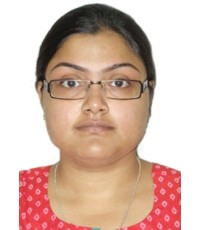
Dr. Swagata Ghosh, M.Sc., M.Tech. & Ph.D. is Assistant Professor in the Department of Geography, School of Earth Sciences, Central University of Karnataka, India since December 2022. Formerly, she worked as Assistant Professor at Amity Institute of Geoinformatics and Remote Sensing, Amity University Uttar Pradesh, India for 8 years from 2014 to 2022. Dr. Ghosh worked as a Postdoctoral Fellow at the Remote Sensing Division, Department of Civil Engineering, Indian Institute of Technology Bombay, Mumbai, India from 2013 to 2014. She received her M.Sc. in Geography from the University of Calcutta, India, and her M.Tech. and Ph.D. (with Senior Research Fellowship from CSIR (CSIR-SRF), Govt. of India) in Remote Sensing from Birla Institute of Technology Mesra, Ranchi, India. She has been working in various areas of Remote Sensing applications in Geography viz. urban growth modelling, urban hazard risk assessment with a special focus on urban heat island (UHI), air pollution modelling, modelling and simulation of climate change in urban versus rural areas to mitigate rural-urban imbalance in environmental quality, snow, and glacier studies etc. She has published research articles in highly reputed refereed international journals, book chapters, and articles in conference proceedings. She is the editorial board member of Scientific Reports, Springer Nature. She is serving as a reviewer of various international journals viz. Physical Geography, Journal of the Indian Society of Remote Sensing, International Journal of Remote Sensing, Applied Geomatics, Asia-Pacific Journal of Regional Science, Atmospheric Research, Environment, Development and Sustainability, Spatial Information Research etc. and is also a life member of Indian Society of Remote Sensing (ISRS) and Indian National Cartographic Association (INCA). Dr. Ghosh is a recipient of the Early Career Research Award (ECRA) and received funding from the Science and Engineering Research Board (SERB), Govt. of India in 2017 to execute the research project “Analysis of Urbanization and Its Impact on Climate Alteration and Environmental Pollution in Faridabad, Haryana, Sub-Region of NCR, India using Remote Sensing, GIS and In-Situ Measurement” as sole principal investigator. In this government-funded R & D project, she was engaged in project development and management, laboratory development with in-situ instruments and software, international research collaboration, and research guidance of undergraduate, postgraduate, and Ph. D. students. Two Ph.D. scholars and more than 30 B.Sc./M.Sc./M.Tech. students have completed their thesis under her guidance. Dr. Ghosh also received Erasmus+ Grant under an International grant to visit the University of Salzburg, Austria as Visiting Professor in 2022.
Follow the Topic
-
Discover Geoscience
This is a fully open access, peer-reviewed journal that supports multidisciplinary research and policy developments across the field of geoscience.

Related Collections
With Collections, you can get published faster and increase your visibility.
Geospatial Innovations in River and Catchment Geomorphology for Sustainable Water Management
Rivers and their encompassing catchments are vital, dynamic systems that are constantly evolving under the influence of both natural processes and increasing human activities. A thorough understanding of their geomorphological characteristics is fundamental for achieving sustainable water resource management, effective disaster mitigation, and robust environmental conservation. However, the escalating pressures of rapid urbanization, accelerating climate change, and pervasive anthropogenic alterations to fluvial systems have amplified critical challenges. These include heightened riverbank erosion, significant imbalances in sediment transport regimes, and increasing hydrological disruptions. These interconnected issues pose substantial threats to delicate ecosystems, agricultural productivity, essential infrastructure, and the livelihoods of countless communities, thereby underscoring the urgent need for advanced monitoring and adaptive management strategies.
This timely Collection aims to showcase cutting-edge research that strategically leverages the transformative power of geospatial technologies to significantly advance our understanding and sustainable management of river and catchment geomorphology. We seek to highlight the profound potential of high-resolution remote sensing, sophisticated GIS-based modelling techniques, the increasing versatility of Unmanned Aerial Vehicle (UAV) applications, and other innovative geospatial tools in: characterizing river dynamics and catchment behavior, assessing and mitigating riverbank erosion and instability, monitoring sediment transport and hydrological disruptions, developing predictive models for sustainable water management, supporting restoration and conservation efforts, and enhancing climate change resilience.
This Collection welcomes submissions focusing on the following key themes and areas of interest but not limited to:
Remote Sensing and GIS Applications:
o Application of UAV (Drone) Imagery and advanced remote sensing techniques in high-resolution river morphology monitoring and riparian vegetation dynamics analysis
o Remote sensing-based assessment and mapping of catchment erosion hotspots and sediment sources
o Innovative use of LiDAR and Photogrammetry for detailed 3D riverbed and floodplain mapping
o Integration of diverse multi-scale geospatial datasets (satellite, airborne, in-situ) for comprehensive river and catchment analysis
o Development and application of GIS-based tools for analysing watershed morphometry, hydrological connectivity, and flow pathways
River Morphology and Sustainability:
o Geospatial modelling and analysis of river meander migration patterns and their ecological implications for habitat and floodplain dynamics
o Integration of hydrological and hydraulic modelling with geospatial data for improved understanding of river flow regimes and flood inundation
o The critical role of geospatial tools and analysis in the planning, implementation, and monitoring of river restoration and rehabilitation projects
o Advanced hydrodynamic modelling and simulation of complex river flow patterns, sediment transport processes, and morphodynamical evolution
o Geospatial approaches for quantitative riverbank stability assessments and the development of effective erosion control strategies
Catchment Management and Climate Resilience:
o Analysing the impacts of land use change and climate variability on river flow regimes, sediment yields, and water quality using geospatial techniques
o Mapping, modelling, and assessing the effectiveness of riparian buffer zones and other green infrastructure for water quality protection and habitat enhancement
o Development and application of integrated geospatial approaches for comprehensive sediment budget estimation at the catchment scale
o Using geospatial data and modelling to assess catchment vulnerability to climate change impacts and inform adaptation strategies
Innovative and Interdisciplinary Approaches:
o Novel applications of machine learning (ML) and artificial intelligence (AI) in conjunction with geospatial data for improved predictive capabilities in river geomorphology and hydrology
o Development of AI-powered geospatial modelling frameworks for predicting and managing riverine hazards such as floods and landslides
o Integration of socio-economic data with geomorphological analysis for socio-geomorphological mapping of catchment vulnerability and risk assessment
o Interdisciplinary studies that combine geospatial analysis with ecological assessments, water resource management practices, and policy development
We cordially invite original research articles, comprehensive reviews, insightful case studies, and innovative methodological papers that address the themes and significantly contribute to the advancement of river and catchment geomorphological investigations through the application of geospatial technologies. We particularly encourage interdisciplinary research and collaborative efforts among hydrologists, geoscientists, environmental engineers, ecologists, policymakers, and other relevant stakeholders.
This Collection supports and amplifies research related to SDG 6
Keywords: River Geomorphology; Watershed Morphometry; Riverbank Erosion and Stability; Remote Sensing and Geospatial Applications; Hydrological and Hydrodynamic Modelling; GIS-based River Analysis & floodplain modelling; Machine Learning and Artificial Intelligence; Climate Change Adaptation; Sustainable Water Management; Sediment Transport; River Restoration; Catchment Management
Publishing Model: Open Access
Deadline: Feb 28, 2027
Weather and Climate Extremes: A Special Reference to Multidisciplinary Research and Policy Developments
This Collection, titled "Weather and Climate Extremes: A Special Reference to Multidisciplinary Research and Policy Developments," focuses on the increasing global challenges posed by extreme weather events and climate phenomena. As these events intensify due to changing climate patterns, their impacts on ecosystems, infrastructure, human health, and socioeconomic systems become more pronounced, necessitating a multidisciplinary approach to understanding and addressing these complexities.
The Collection aims to bring together research from diverse fields, including atmospheric sciences, hydrology, ecology, engineering, public health, and social sciences. It encourages innovative contributions that explore cutting-edge solutions to predict, manage, and mitigate the effects of climate extremes. Topics may include advanced modelling techniques, nature-based solutions, climate-resilient infrastructure, risk assessment frameworks, and strategies for equitable policy development. The emphasis is placed on integrating scientific understanding with actionable solutions that address vulnerability, resilience, and adaptation.
Moreover, this Collection seeks to foster cross-disciplinary collaborations to bridge the gap between scientific research and policy implementation. By highlighting case studies, theoretical advancements, and practical approaches, it aims to advance the dialogue on climate resilience and inform decision-making processes globally. This platform aspires to serve as a critical resource for researchers, practitioners, and policymakers striving to navigate the escalating challenges of a changing climate.
Given the increasing frequency and intensity of climate extremes, this topic holds critical importance. Such extremes profoundly affect ecosystems, infrastructure, and human livelihoods, demanding coordinated efforts across disciplines to analyse risks, develop mitigation strategies, and inform policy. This Collection seeks to bring together cutting-edge research and innovative approaches from diverse fields, bridging scientific understanding and actionable policy frameworks. The proposed focus areas include, but are not limited to:
• Advances in modelling and forecasting weather and climate extremes
• Impacts on ecosystems, agriculture, water resources, and public health
• Nature-based solutions and climate-resilient infrastructure
• Interdisciplinary frameworks for risk management and adaptation planning
• Policy advancements addressing vulnerability, resilience, and equity
This call aims to engage a broad community of researchers, practitioners, and policymakers to enhance global discourse and support evidence-based decision-making by emphasising multidisciplinary contributions.
This Collection supports and amplifies research related to SDG
Keywords: Weather Extremes Modeling; Climate Change Impacts; Risk Assessment Frameworks; Nature-Based Solutions (NbS); Resilient Infrastructure Design; Equitable Policy Development; Interdisciplinary Climate Research; Adaptation and Mitigation Strategies; Socioeconomic Vulnerability Analysis; Extreme Event Forecasting
Publishing Model: Open Access
Deadline: Feb 28, 2027