Seismic signals from the Antarctic seafloor
Published in Earth & Environment
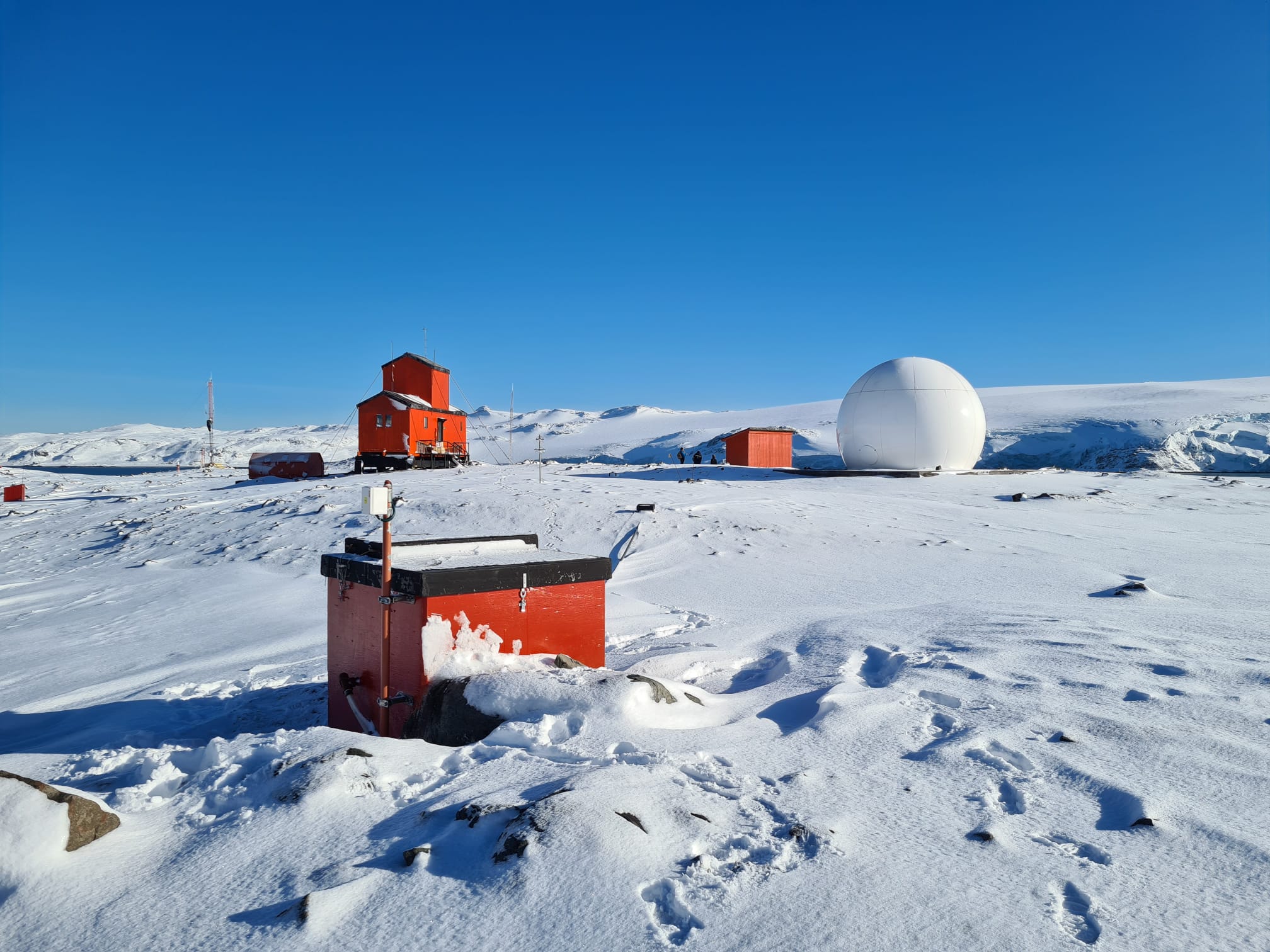
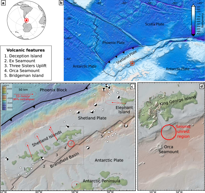
During the second half of 2020, a swarm of at least 85,000 earthquakes occurred beneath the Bransfield Strait, a sea channel that divides the Antarctic mainland from the South Shetland Islands. The intriguing observation of massive seismicity in a moderately active region and the recording of more than 10 cm lateral deformation at the neighbouring King George Island triggered our scientific curiosity, especially considering that the rough epicentral locations by global catalogs situated the largest earthquakes of the sequence in the vicinity of the Orca seamount. This is a large submarine shield volcano approximately 900 m high above the seafloor, named after the whale that has been frequently observed in those seas. The Orca seamount was considered inactive. The observation of such anomalous seismicity can be either attributed to a volcanic or a tectonic forcing. Magmatism is indeed not rare at Bransfield, as testified by the many volcanic features dotting the Strait’s bathymetry. However, the region is also tectonically active, with the Bransfield Strait being one of the few locations on Earth where continental rifting is developing into oceanic spreading. A geophysical study at such a remote location is challenging because seismological and geodetic stations are sparse, and both the ice coverage and the frequently cloudy weather reduce the potential of remote sensing analysis. We tackled these limitations by combining local data from few stations operating on King George Island with regional, teleseismic and remote sensing observations. Local data are used to increase the detection of weaker earthquakes, while larger distance observations help to characterize the rupture process of larger ones. Seismological data resolve the geometry of the activated faults and the migration of induced strain, suggesting a case of volcano-tectonic seismicity in response to a magmatic intrusion. Indeed, we resolved two types of earthquakes: the first, deeper ones, were likely triggered by a magmatic intrusion in the upper mantle and deep crust, whereas the second type, shallower and aligned in a roughly NE-SW direction, is consistent with the seismicity patterns expected above the intrusion expanding laterally along that direction. Geodetic data independently confirm the magmatic driver of the seismicity: in fact, the size of the observed deformation cannot be explained by faulting processes alone but requires an additional volumetric source, which points to a magmatic intrusion with an estimated volume of about 0.3-0.6 km³. The sequence ended quite abruptly on November 6, 2020, with the occurrence of the largest earthquake of the sequence, with a magnitude Mw 6.0. We interpret that the magma dike pressure, which sustained its growth until that time, was reduced by this earthquake, which also caused the creation of shallow fractures, bringing the intrusion to an end. Remote sensing data could not provide any direct evidence for an undersea eruption at this time, a scenario which remains indeed possible: only a future marine survey may be able to prove whether a submarine eruption took place or not.
Follow the Topic
-
Communications Earth & Environment
An open access journal from Nature Portfolio that publishes high-quality research, reviews and commentary in the Earth, environmental and planetary sciences.

Related Collections
With Collections, you can get published faster and increase your visibility.
Remote sensing and forests
Publishing Model: Hybrid
Deadline: Jul 31, 2026
Sustainable agricultural practices
Publishing Model: Open Access
Deadline: Jul 24, 2026


Please sign in or register for FREE
If you are a registered user on Research Communities by Springer Nature, please sign in