Getting to know the crust under sedimentary basins
Published in Earth & Environment

Behind the paper
Ever since my early student days I have been wondering about the rocks offshore Western Norway, the eastern margin of the northern North Sea rift basin. Some samples have been extracted through offshore drilling and give important information about the nature of the crystalline basement. However, basement cores are rare and say little about the larger-scale nature of the basement. Correlation with onshore lithologic units is often difficult, given that similar lithologies occur in many different crustal units. Although some knowledge can be extracted from magnetic and gravimetric data, our best source of information is reflection seismic data. Seismic data are now collected, processed, and displayed in ways that reveal structures and lithologic features never seen before.
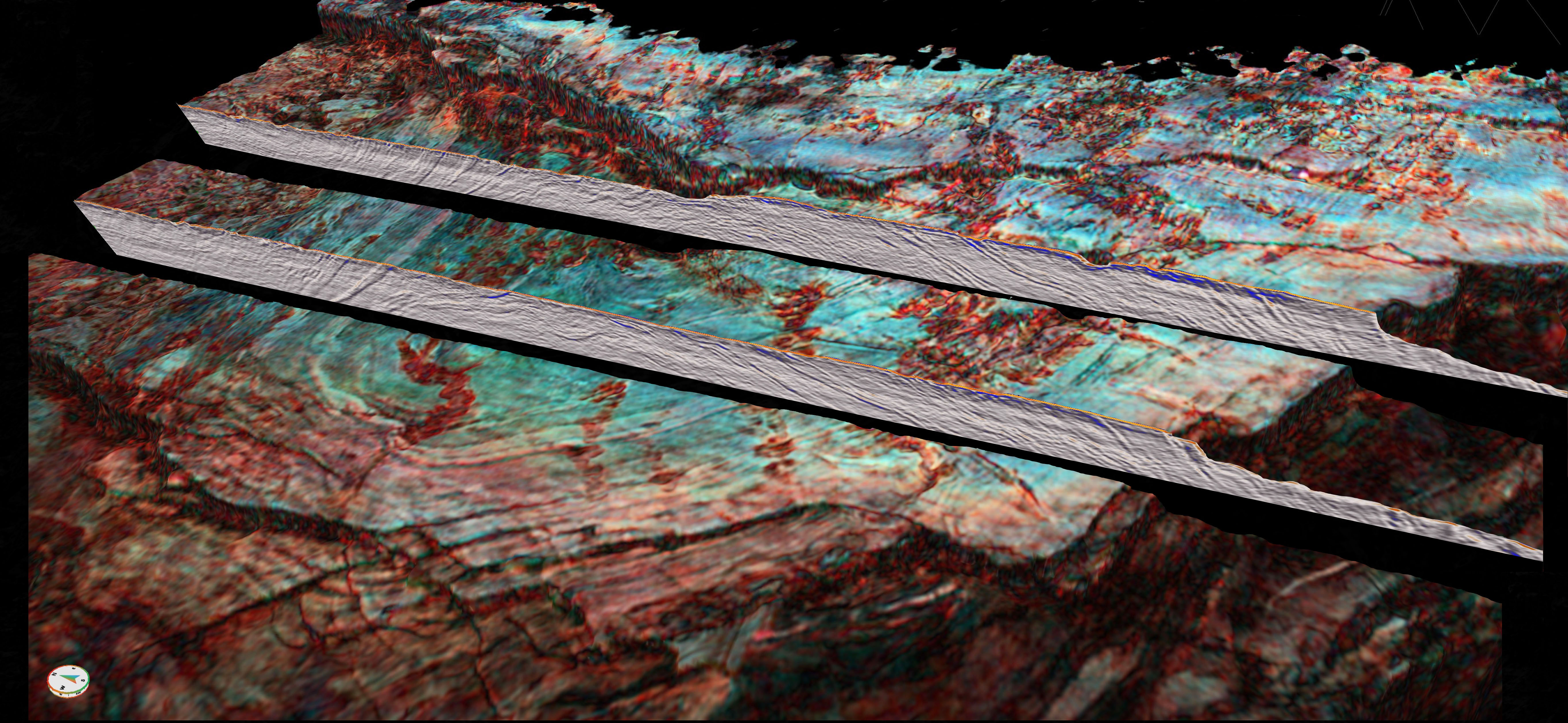
One of the techniques is to decompose the seismic frequency spectra into bins that are given different colors and blended into images that reveal new information about buried rocks. Spectral decomposition is now routinely done on seismic data from the basin fill, where it has greatly advanced the mapping of depositional features such as channel networks and delta deposits. However, it has not been applied much to the sediment-crust interface, i.e., the top basement surface.
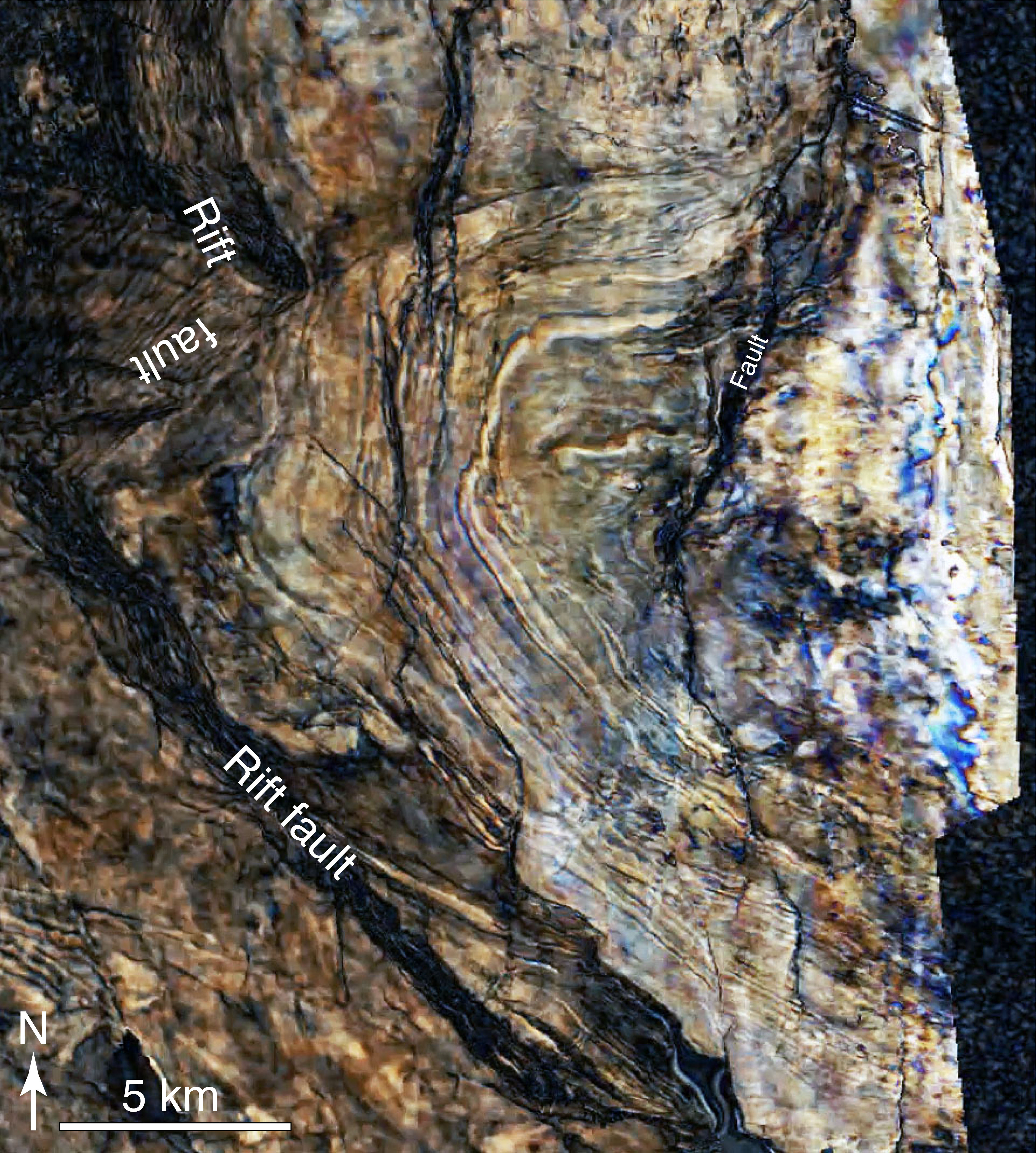
When coauthor Israel Polonio first shared his blends of the top basement surface from the east margin of the North Sea, I was thrilled by the information they revealed. These seismic images portrayed crust buried under kilometers of sediments, and were strikingly similar to Google Earth images of onshore rocks. In particular, one of his images of folded basement layering was extremely clear and mimicked the onshore structures that some of us had been mapping. It was clear that this method represented a great potential for studies of the basement under sedimentary basins.

A thoroughly folded basement
We dug deeper into the seismic data and interpreted the three-dimensional geometry of these fold structures. In the deep middle of the North Sea rift the imaging is not yet good enough for such mapping, but closer to the margins where sediment burden is only up to a few kilometers, a continuous system of folds was mapped out. These folds are alternating antiform-synform structures of upright geometry, very similar to folds in crystalline basement along the coastal region of West Norway. Onshore, these structures have recently been explained in terms of transtensional deformation combined with vertical movements associated with gravitational instabilities within hot granitic crust in the aftermath of the Caledonian collisional orogeny. Based on the new data, we could confidently extend this structural pattern of extensional detachments and large upright folds offshore.

The collapsed central zone of the Caledonian orogen previously documented onshore could now be doubled in width. We still do not know the western limit of this collapse zone, except that the pattern is not seen on the British Isles. We only know that a more than 200 km wide central orogenic zone existed in the Devonian, and that this crustal zone must have carried a Himalaya-size mountain range on its back at the time that collapse initiated. Those mountains are fare gone. And it happened by a combination of surface erosion and extensional collapse of the crust. Erosion fed basins with sediments, some of which are preserved onshore and offshore, some that formed far away from the North Sea, and some of which have been removed by later erosion. Tectonic collapse produced basement folds and shear zone in the middle crust, accompanied by shallower brittle faults. The structures that we are now able to map seismically in the offshore basement are related to the crustal collapse part of the history.

Buried and sunken landscapes
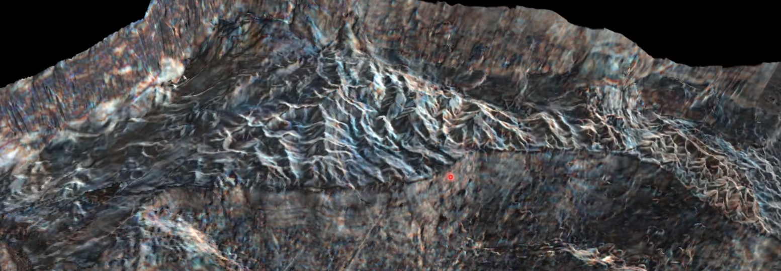
Another fascinating aspect of top basement imaging and spectral decomposition images is the opportunity to study old surface landscapes that were buried as the crust subsided and the basin developed. In our data, we see peneplanized regions cut by Jurassic and Cretaceous canyons carved out by rivers transporting sediment from the onshore highland into the deeper parts of the basin. We also see more mountainous regions of Triassic age with extensive drainage systems that relate to fault block rotation during early rifting. Some examples are presented in the paper, and more work is being done.
General application
In summary, the methodology that we have used to map buried basement is extremely useful and applicable to most other basins in the world. All basins all have basement at the bottom, and the basement always carries important information about the formation of the region, be it a rift basin, foreland basin or a continental margin. In the future, buried basement will be better known and add valuable knowledge to our understanding of the Phanerozoic evolution of the continental crust.
The methodology that we have used to map buried basement is applicable to most other basins in the world. They all have basement at the base, and the basement always carries important information about the geologic evolution of the region.
Follow the Topic
-
Communications Earth & Environment

An open access journal from Nature Portfolio that publishes high-quality research, reviews and commentary in the Earth, environmental and planetary sciences.
Related Collections
With Collections, you can get published faster and increase your visibility.
Archaeology & Environment
Publishing Model: Hybrid
Deadline: Mar 31, 2026
Drought
Publishing Model: Hybrid
Deadline: Mar 31, 2026


Please sign in or register for FREE
If you are a registered user on Research Communities by Springer Nature, please sign in