Disappearing summertime streamflow: warming and thirsty vegetation in the Upper Colorado, USA.
Published in Earth & Environment

Declining streamflow
Streamflow in snowmelt-dominated rivers, fed largely by snow that accumulates high in their mountain reaches, has been declining across many parts of the world. This water powers turbines, provides habitat for aquatic species, and irrigates crops that feed billions. In the western United States, the importance of these systems is especially clear in the Upper Colorado River Basin (UCRB), where water emerges from the rugged, high-elevation Rocky Mountains to flow into the Colorado River, which eventually supplies water to 40 million people. As the climate warms in the UCRB, understanding how the water cycle is changing between the mountain snowpack and the river below is becoming increasingly important.
Drying soils
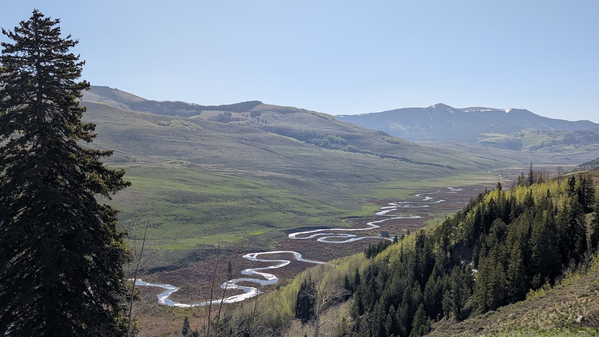
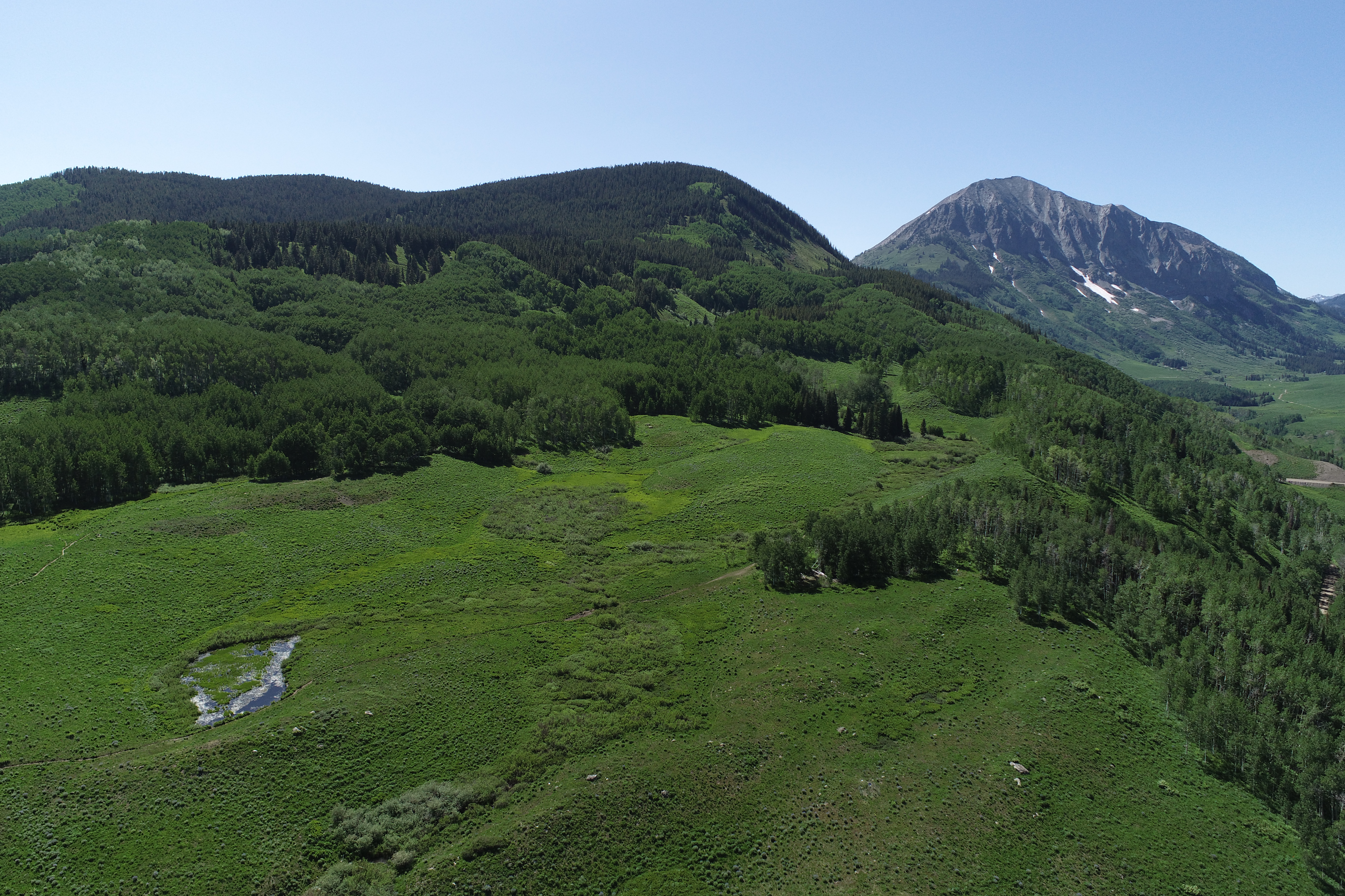
Nearly 3,000 m above sea level in Colorado, our field site's rolling meadows give way to scattered aspen groves and then a subalpine forest of spruce, fir, and pine. Here we are trying to understand how snowmelt and rainfall move through the landscape: seeping into the ground, forming small headwater streams, and interacting with plants along the way. Yet less of this water seems to be making it to larger rivers downstream.
During the first summer of my PhD in 2023, several undergraduate interns and I were repeatedly collecting soil moisture measurements by hand for a separate project looking at how soil moisture varies spatially. By chance, the summer monsoon, the afternoon thunderstorms that send animals and hikers alike diving for cover, never really arrived. From May through September, rain at a nearby long-term monitoring station was only 64% of average, with especially low amounts during the core summer months.
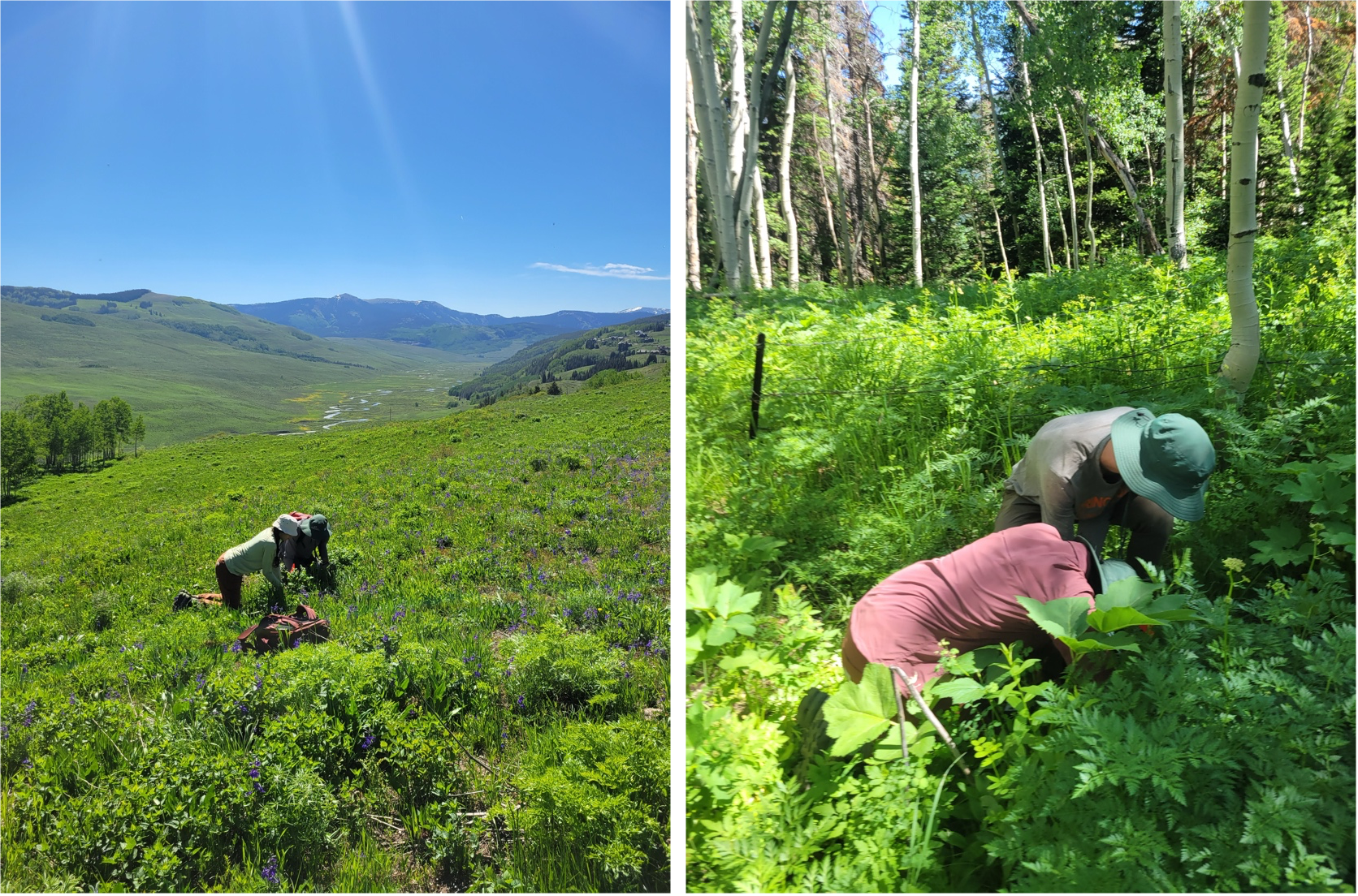
Consequently, as the growing season progressed, shallow soils dried out. No matter where we measured across the catchment, we found the same pattern. While the meadows turned brown and shrubs wilted, some vegetation remained active. Preliminary sap-flux data (provided by Max Berkelhammer at the University of Illinois Chicago) hinted at some continued water uptake. Together, these observations suggested plants might be finding water somewhere beyond the shallow soil.
This led us to a simple, but important question: where was that water coming from?
New eddy flux sensors and groundwater cycles
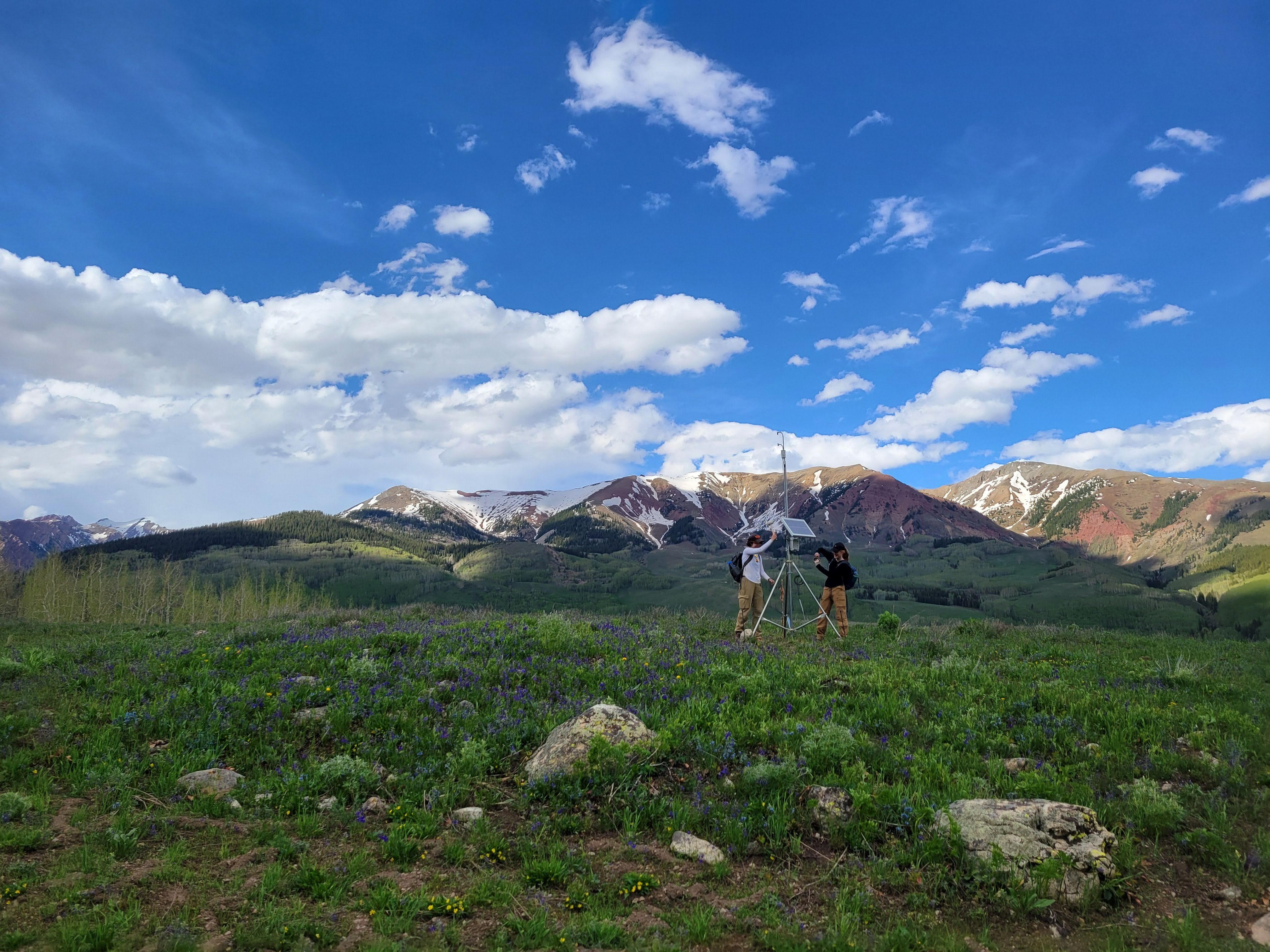
We returned the next year with a new set of low-impact eddy flux sensors to measure evapotranspiration directly, placing them on short towers across the watershed. When the monsoon was delayed again in July 2024, we had a chance to monitor how the system responded. While evapotranspiration did decline during this period, we found surprisingly high rates that persisted through the dry period. Even after 45 days without rain, vegetation was still losing around 2 mm of water per day to the atmosphere. Wherever that water was coming from, the dry shallow soils we had been measuring could not supply it.
To understand what was happening in more detail, we turned to the network of continuous groundwater, streamflow, and soil moisture sensors distributed across our catchment. The daily cycles in these measurements let us track the fingerprint of evapotranspiration. As plants take up water during the day, water levels fall and then rebound at night. Across both summers, we saw a striking difference in the responses of soil moisture and shallow groundwater. As summer progressed, the daily signal of vegetation water use faded in shallow soils, but persisted in the groundwater several meters below the surface.
These observations pointed towards a mechanism we had suspected. As shallow soils dried, vegetation could maintain its water use by accessing shallow groundwater.
Scaling up to watersheds across the UCRB
We then asked whether what we were seeing at our small mountain field site might hold true across the much larger UCRB. Long-term measurements of evapotranspiration are not available across the basin, so we used summertime temperature as a proxy for atmospheric demand and combined decades of streamflow and climate observations from small headwater catchments across the region.
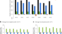
We found a consistent pattern. Warmer summers were associated with lower late-summer streamflow. Hot summers became much more common. Over the period we studied, they increased from just 3% of the site-years (called gage-years in the paper) in the first decade (1986-1995), to 68% in the last decade (2015-2024). Yet these hotter years consistently produced only around 83% of the long term average late-summer streamflow in each catchment.
At the field site, we saw how vegetation maintained water use by turning to groundwater. Across the basin, the longer-term observations suggested this process was occurring at a large scale. As summers warm and the atmospheric demand for water increases, vegetation can continue drawing water from deeper in the landscape.
Taken together, these observations connect a process occurring at individual plants to changes occurring across an entire river basin. Our results suggest as summers warm and shallow soils dry, vegetation can increasingly draw on groundwater to keep transpiring. Through this pathway, warming can reduce streamflow even long after the snow has melted. How deep plants can reach groundwater, and for how long, will be important for understanding the future of the UCRB.
We are now using drone-based remote sensing and additional instrumentation to identify which features of a landscape may keep groundwater within reach of deeper plant roots. We are also improving our models to represent these processes more accurately and, ultimately, predict streamflow better. Together, these efforts will help us understand just how much water these mountain landscapes will continue to use and supply to rivers, especially as summers continually warm.

Follow the Topic
-
Communications Earth & Environment
An open access journal from Nature Portfolio that publishes high-quality research, reviews and commentary in the Earth, environmental and planetary sciences.

Related Collections
With Collections, you can get published faster and increase your visibility.
Ecological resistance and resilience under global change
Publishing Model: Open Access
Deadline: Apr 07, 2027
Hazards in Mountain Regions
Publishing Model: Open Access
Deadline: Nov 02, 2026